


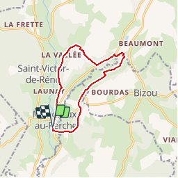

10,6 km | 13,5 km-effort


Utilisateur


Application GPS de randonnée GRATUITE
 SityTrail
IGN / Instituts géographiques
SityTrail World
Le monde est à vous
Randonnée Marche de 10,4 km à découvrir à Normandie, Orne, Longny les Villages. Cette randonnée est proposée par ODDAD78.
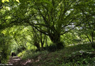
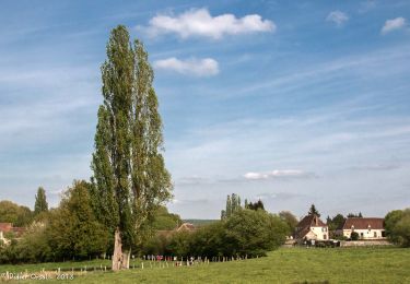
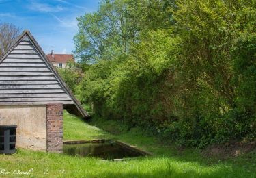
Le bois des Sicots. Point de départ au parking de la maire de Monceaux-au-Perche. Superbe vallée de la Jambéée aux panoramas nombreux et caractéristiques des paysages du Perche
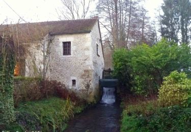
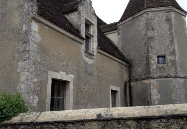
Au printemps / été, prendre le temps de visiter les jardins du manoir de Pontgirard

Marche
Marche

A pied

Marche
Marche
Marche
Marche
Marche
Marche